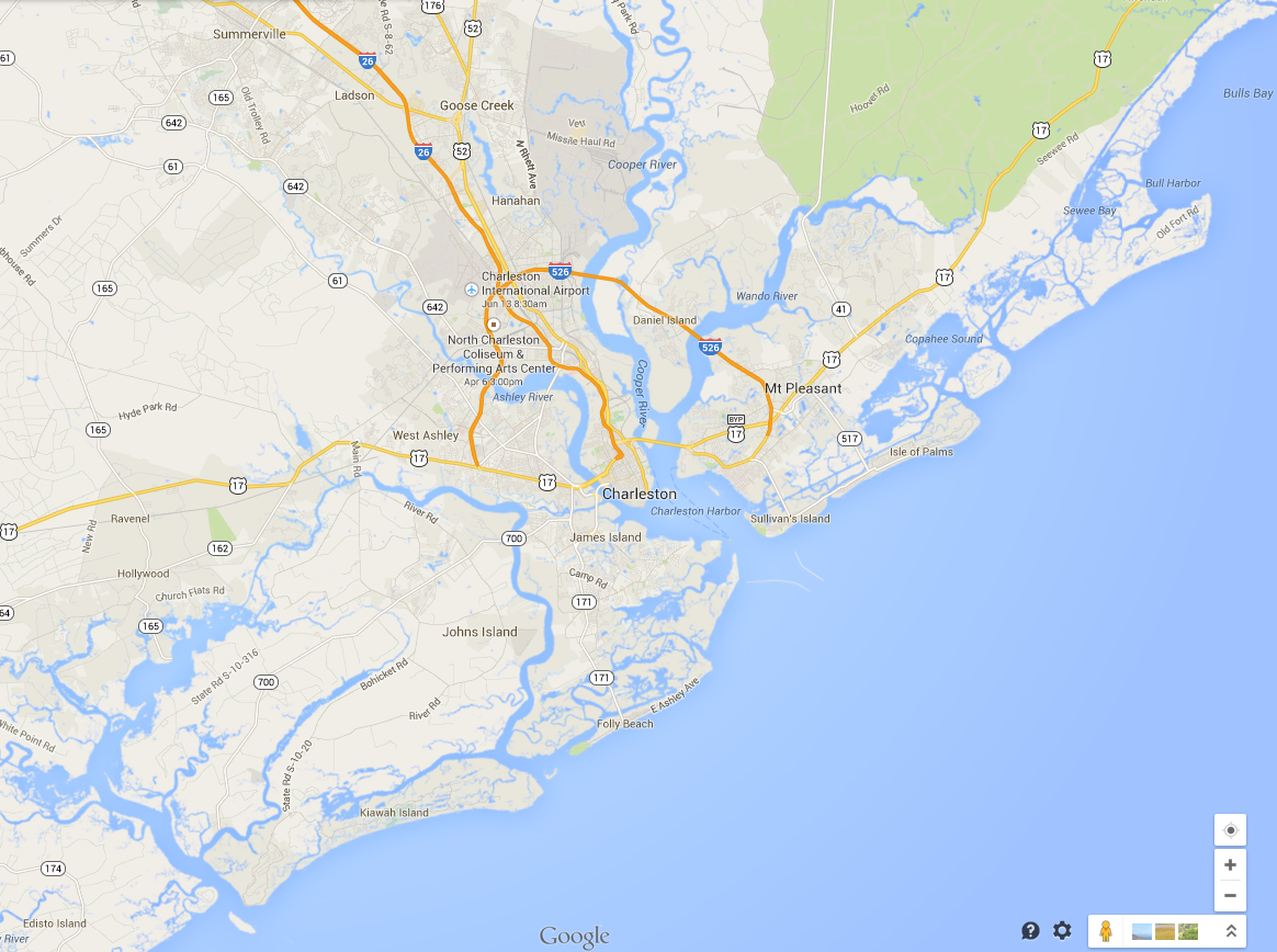
The historic city of Charleston, South Carolina, is located on a peninsula in
Charleston Harbor, at the confluence of the Ashley and the Cooper rivers.
Charleston is the oldest and second-largest city in the State of South Carolina. The city lies just south of the geographical midpoint of South Carolina's coastline.
Experience the genteel feel of the old South in our gracious city of antebellum homes and sprawling plantations. Our unique Lowcountry cuisine and dozens of delicious restaurants make Charleston a southern foodie destination. Enjoy warm southern hospitality,
buy a sweetgrass basket, savor Lowcountry shrimp and grits at a downtown restaurant, or ride a horse-drawn carriage for a slow-paced tour of the Historic District. Or stroll along the Battery and see the harbor and Fort Sumter in the distance. Or take a 2.7 mile hike or bike ride across the Arthur Ravenel bridge over the Cooper River from Charleston to Mount Pleasant and Patriot's Point, the home of the retired aircraft carrier USS Yorktown.
Charleston Harbor

Charleston Harbor, 2014
Charleston Harbor is an inlet of the Atlantic Ocean (or, as is locally believed, where the Ashley and the Cooper Rivers come together to form the Atlantic Ocean).
The Port of Charleston is the fourth busiest port on the East coast, and the homeport of the
Carnival Fantasy cruise ship.
Container ships, "ro-ro" automobile carriers, and other cruise ships are frequent visitors to Charleston. And don't be surprised to see one of the few remaining shrimp boats in the harbor, or at a dock at Shem Creek.
Morris and Sullivan's Islands shelter the harbor entrance from the Atlantic Ocean.
Twin jetties (known for some obscure reason as the North Jetty and the South Jetty) guard the entrance to the harbor; they start near buoys R "18" Q R on the north and
G "17" Q G on the south. Warning: these jetties are partially submerged at MHW.
Charleston Harbor is part of the Intracoastal Waterway, which cuts across the harbor from behind Sullivan's Island on the east to
behind James Island on the west.
Our numerous marinas cater to local powerboaters, fishermen, and sailors, as well as ICW travelers. Charleston area marinas can be found at
Google Maps
and at
Marinas.com
The NOAA chart for Charleston Harbor and Approaches is 11521.
OnLineViewer for 11521.
History

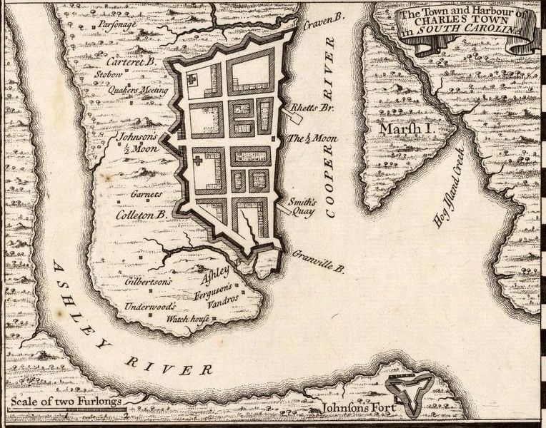
Charleston Harbor, 1733
Founded in 1670 as Charles Towne in honor of King Charles II of England, Charleston adopted its present name in 1783.
Both of the rivers that empty into Charleston Harbor were named after the same man:
Lord Anthony Ashley Cooper, 1st Earl of Shaftesbury (who
was one of the eight Lordís Proprietors originally granted a charter to the
Province of Carolina colony, but who
apparently never visited Charleston!).
Charleston was frequented by pirates in pre-Revolutionary days, including the famed Blackbeard (Edward Teach), who blockaded the harbor with a fleet of pirate ships in May 1718.
In October 1779, the British planned an attack on Charleston, which they intended to use as a base for further operations.
Marching upon Charleston via James Island, as well as from inland, the British cut off the city from relief, and began a siege on April 1.
The Continental army was compelled to surrender the city and its 5,000 troops on May 12.

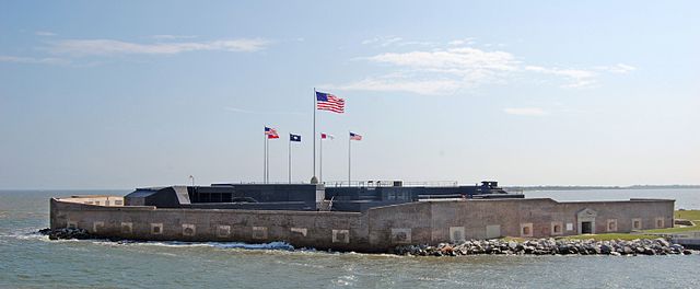
Fort Sumter, 2009
Fort Sumter is located at the entrance to Charleston Harbor,
on an island just off the eastern tip of James Island. The Civil War began at 4:30 a.m. on April 12, 1861, when Confederate artillery opened fire on this Federal fort; the Union forces surrendered 34 hours later, and would try for nearly four years to take it back before succeeding. The Federal government formally took repossession of Fort Sumter on February 22, 1865.
Selected Websites about Charleston and Charleston Harbor
Go to the top of this page
Compiled by wwq